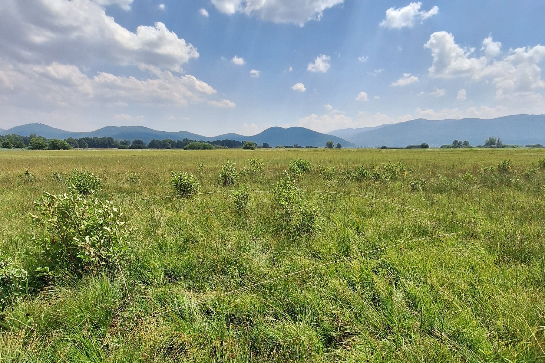
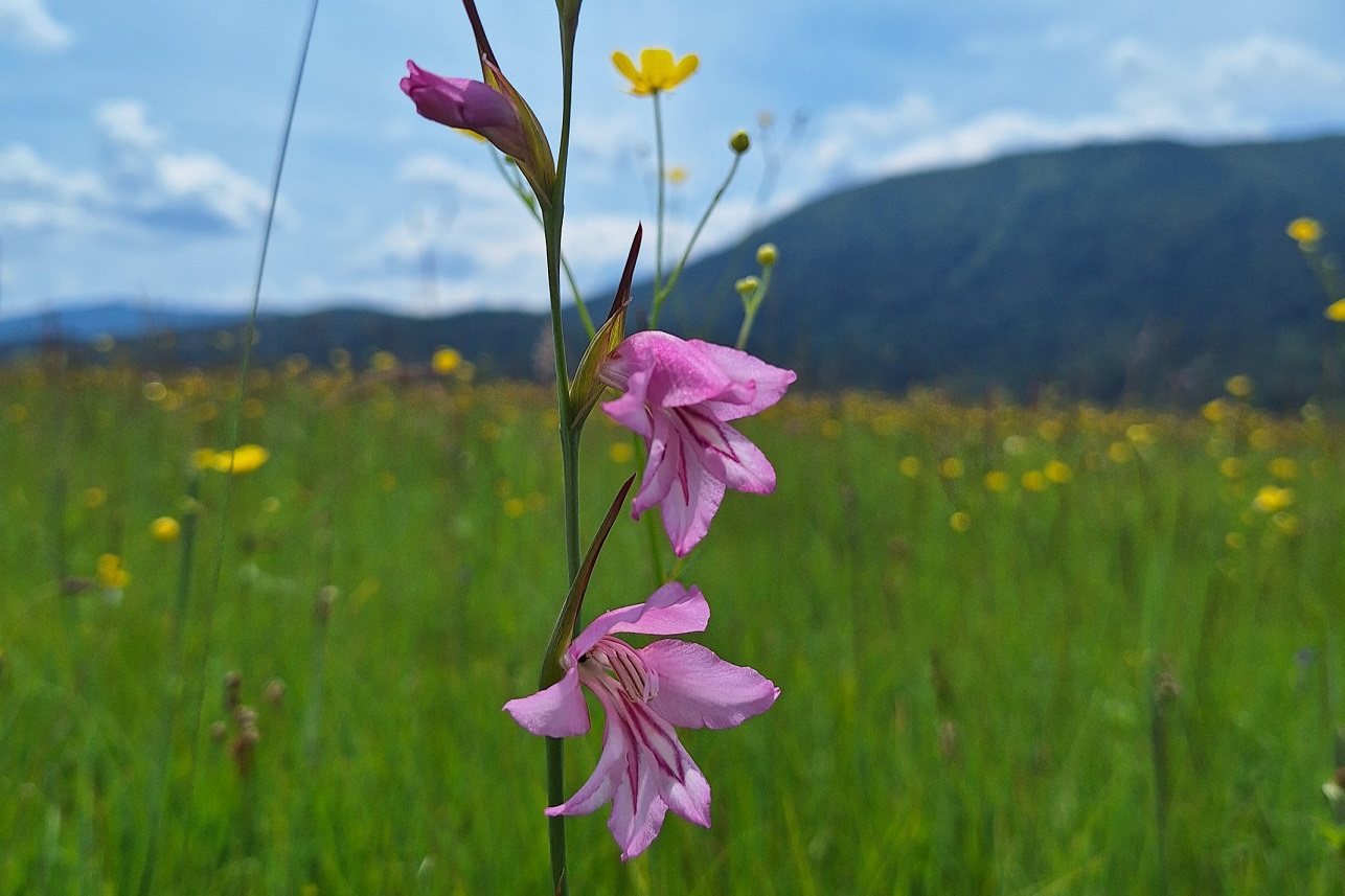
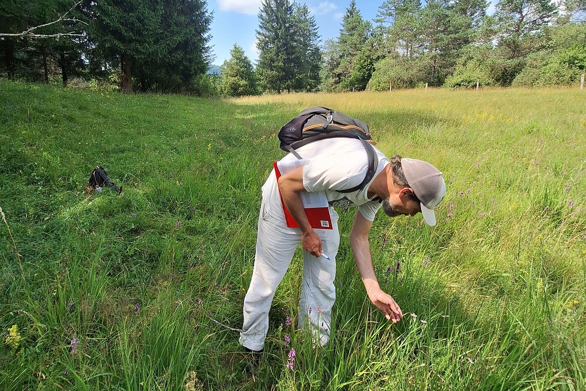
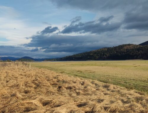
In the area of Lake Cerknica and Brejnice (Menišija) we carried out systematic vegetation surveys using a modified Braun-Blanquet method as part of the LIFE FOR SEEDS project. The surveys were carried out in July, when the vegetation is best recognisable and at the peak of its development, which enables accurate identification of plant species and their structural characteristics. We focused on meadows from which woody overgrowth was removed and/or a seed mixture was sown during the project. In the previous two years, the same sites were surveyed by the Research Centre of the Slovenian Academy of Sciences and Arts and the Agricultural Institute of Slovenia.
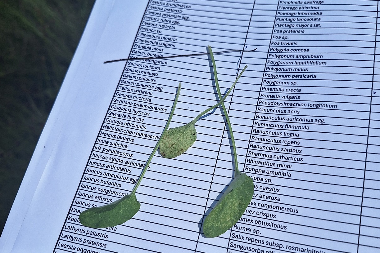
On the survey plots, we conducted two types of surveys: a survey of quadrats with a side length of 5 m using a modified 9-point Braun-Blanquet method and a survey of the entire sample plot using the standard 7-point Braun-Blanquet method. We precisely located the survey quadrats using GPS devices and physically marked them with stakes. A string was stretched between the stakes to form a quadrat that allowed for accurate analysis of the vegetation within the defined area. In each quadrat, we assessed different structural features of vegetation. We measured the cover of different vegetation layers (e.g. herb and woody layer), as well as their height. The height was measured at three levels: the lowest, the average and the highest, which gave us an accurate understanding of the vertical structure of the vegetation. We also assessed the proportion of litter (dead plant material), mosses, algae and bare ground cover so that we can track the changes in these parameters over the years. For every species we defined its cover inside the quadrat and the sample plot.
The goal of our surveys is to monitor long-term changes in the vegetation and structural characteristics of grassland ecosystems. By repeating the surveys over several years, we will be able to analyze the dynamics of changes in species composition, cover and vegetation height, which will provide a clear insight into the success of the restoration projects. The final results will show how effectively the grasslands have been restored and what impact these measures have on biodiversity and ecosystem stability.
The method we use allows for an accurate assessment of the current state of the vegetation and the changes over time, which is crucial for the long-term monitoring of the restoration measures. In this way, we will contribute to a better understanding of the ecological processes taking place in restored grassland ecosystems and ensure that these processes are directed towards the conservation and enhancement of biodiversity in these important natural areas.


